Images of World Impact Craters
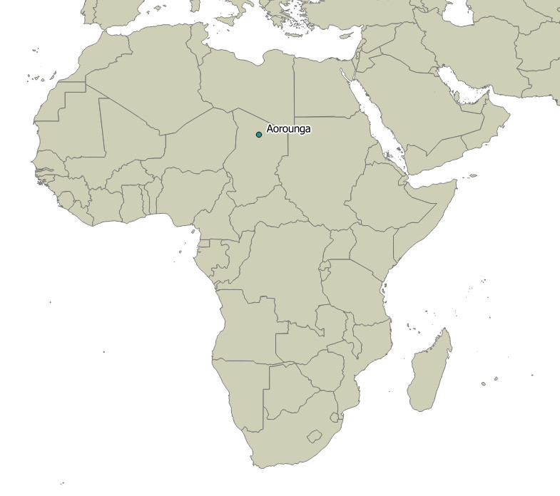
AOROUNGA CRATER - CHAD

| Crater Name(s) | Aorounga Crater |
| Country | Chad |
| Longitude | 19 deg 15 min E |
| Latitude | 20 deg 15 min N |
| Diameter (km) | 16 km |
| Age | <345 Ma |
| Impact Origin Evidence | PDF and Shatter Cones |
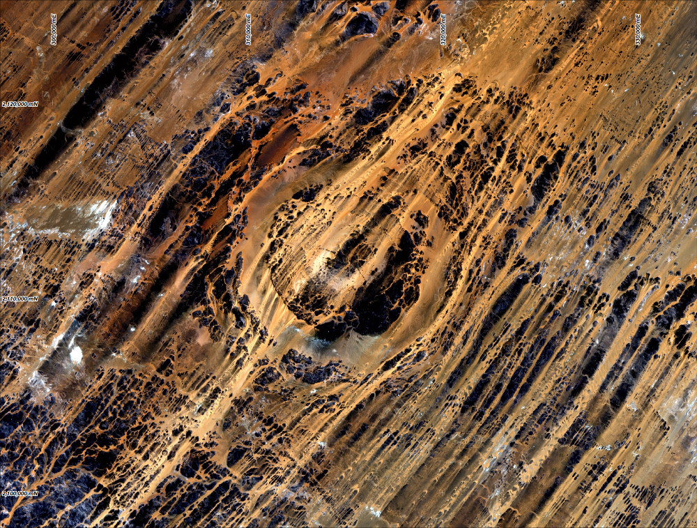
| Description | The impact structure comprises a 9 km wide structurally complex central zone, surrounded by a 2-3 km zone of low relief, followed by and outer zone some 3.5km in width. |
| Landsat Scene | Path 182 Row 47 |
| References | Reimold W U and Koeberl C. 2014. Impact Structures in Africa: A Review. Journal of African Earth Sciences 93 (2014), 57-175. |
| Date Data Entered | 2014 09 15 |

Landsat 8 image of the Aorounga impact structure (pansharpened RGB Bands 4, 3 and 2). Coordinates WGS84 UTM zone 34 north.

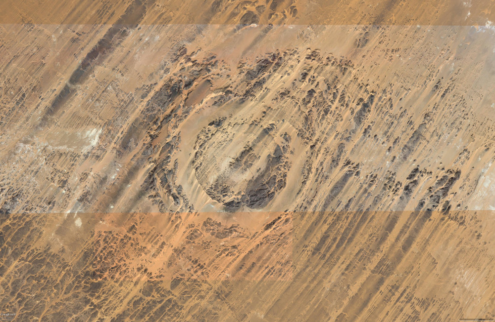
Vertical Google Earth image of the Aorounga impact structure.

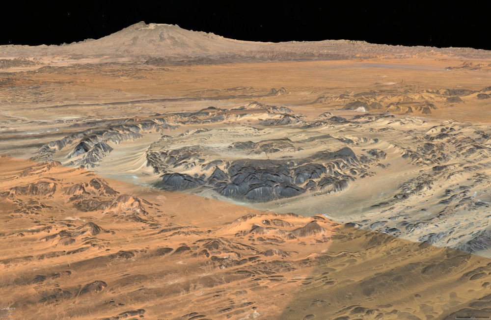
Oblique Google Earth image to the north west of the Aorounga impact structure.