Images of World Impact Craters
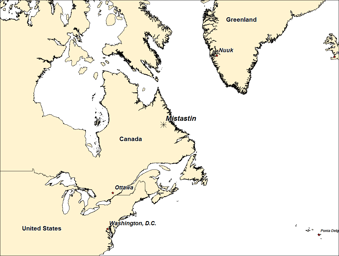
MISTASTIN IMPACT STRUCTURE - CANADA

| Crater Name(s) | Mistanstin Impact Strucure |
| Country | Canada |
| Longitude | 63 deg 18 min W |
| Latitude | 55 deg 53 min N |
| Diameter (km) | 28 km |
| Age | 36.4 +/- 4 Ma |
| Impact Origin Evidence | PDFs, Shatter Cones, Diaplectic Glass and Melt Rocks |
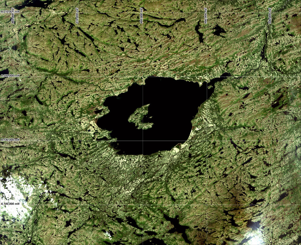
| Description | The Mistastin Lake crater is relatively well preserved with a distinct rim and central uplift (Horseshoe Island) that exposes shocked and melted anorthosites. |
| Landsat Scene | Path 010 Row 21 |
| References | Web Reference: http://cpsx.uwo.ca/research/field-sites/mistastin, and Wikipedia. |
| Date Data Entered | 2014 09 17 |

Landsat 8 image of the Minastin impact structure (pansharpened RGB Bands 4, 3 and 2). Coordinates WGS84 UTM zone 20 north.